Forum Discussion
Map Chart: Regions not displaying properly
I'm having problems getting a particular region to display properly in Map Charts. I'm not sure if it's region-specific or a problem with the programme. I'm pulling together a map of Georgia, the country, and a single region, Adjara, is not rendering properly. It doesn't render at all using many of its normal toponyms, and when spelled using the less-frequently used toponym "Adzharia", it appears as a thin sliver along the border. Any idea what's up? File attached.
18 Replies
 Allwyn_PhilipCopper Contributor
Hi, Its been a similar experience for me.. When am trying to map Indian states some of them get displayed others dont.. Funny thing is if you map all of them together, then it gets mapped but if you try individually to map states, then it shows the error.
Sample
This displays correctly
Country State(INDIA) Revenue India Maharashtra 24,11,600 India Tamil Nadu 14,61,841 India Uttar Pradesh 13,76,324 India kerala 13,50,257 now if you individually give maharashtra and uttar pardesh it works.. but if you give kerala or tamil nadu, it will fail.. the states wont pop up..
Country State(INDIA) revenue India kerala 13,50,257 Also its not possible to give districts for each states as it shows error.
is there any work around for this???
- SergeiBaklanDiamond Contributor
Can't reproduce that
In general, Map Charts is quite sensitive to column's names. Try to use Province instead of State; County instead of District; etc. Sometimes that helps.
 Anup_DashCopper Contributor
Hi
I am facing similar situation for India Map.
It is not recognizing below 2 states. Rest for all states it is loading correctly. Please help
India Himachal Pradesh India Uttarakhand
 Ricardo BaptistaCopper Contributor
I was having similar problems with several maps, and after some trial and error, I solved my problem for Turkey by opening bing maps, and looking for the region names on the map (they are written in CAPS). Having the data on a table helps, and in my case, if the column "Regions" is plural and in english (my office is in portuguese), it work better than if the column is called "Region". Haven't found Azores yet... and it seems that those names in caps don't show for many coutries.
It would be helpfull if we could have a list of valid names for regions.
 Andrea ScaglioniCopper Contributor
I have a similar problem.
I'm trying to create a map of Italy to second-order administrative division.
I added columns (first and second administrative division), I've changed names and the results are always different: sometimes displays the world (??), sometimes just a line, sometimes only a country without breakdowns, sometimes a State. Any attempt graph worsens.
there is a way to refine the search?- SergeiBaklanDiamond Contributor
Hi Andrea,
In general, Map Charts is sensitive to column names (better to name them literally as recommended) and it always worth to have Country column (with only "Italy" in your case), otherwise bing engine could recognize Rome as the city in Georgia, USA, not as your capital.
And yes, it's sensitive to non-English names, the only way is play with different transcriptions.
- joao_350Copper Contributor
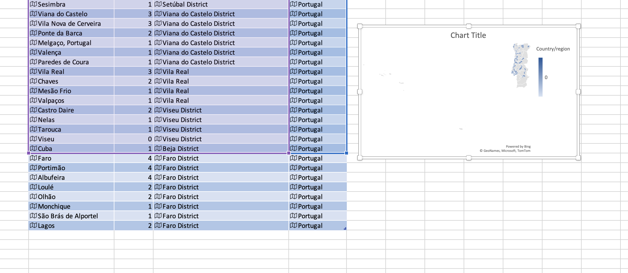
SergeiBaklan I have a similar error (sometimes displaying the country regions correctly sometimes the whole world) with Portugal despite the fact that the country is identified correctly.
After testing it I notices that the Faro district is causing the problem. For some reason when I add any municipality of the Faro district excel/bing switches from the Portugal map to the World Map. If I zoom in Portugal I can see that the Faro District is filled in with the right colours (so it is recognizing it as being in Portugal) but Portugal being so tiny relative to the world, zooming in gives an ultra pixelized map with poor definition (unusable).
Seems like a bug. Is there a fix?
- SergeiBaklanDiamond Contributor
I don't know an answer, but it looks like Maps overlaps Guria and Ajaria (by the way, it recognizes that name, as well as Adzharia). If remove ratios here you may see kind of doubled administrative border between them. If with ratios hover the mouse over Ajaria we see the correct number, but colored only the space between 'borders'.
3D maps shows everything correctly even if, my guess, it has same Bing engine with Maps.
The bug, the question is where...